
Yuba City Previous Residents by Era
Tracing previous residents works best when each record has one role. The Recorder can establish a transfer, the Assessor can connect an address to a parcel, and the Museum can add a local description. Census sheets and requested directories may add household clues, while maps and permits can place a building change in time. No row below proves every person who stayed at an address. Together, the rows give a controlled route from a current parcel to earlier names, structures, and records.
| Source | Years It Covers | Where Held | What It Shows |
|---|---|---|---|
| Recorder online index | 12/1/1993-present | Legacy Records Query and Tyler Self-Service | Grantor, grantee, document type, date, number, and image path where available |
| Recorder counter deed indexes | Before 12/1/1993; first year unlocated | 433 Second Street counter and mail copy route | Earlier parties, deeds, and legal descriptions |
| Assessor assessment | Current assessment year | Records Query and 1190 Civic Center counter | APN, situs, value, tax context, and counter-only owner/document details |
| County GIS | Current/live; 2025 aerial | Sutter GIS map and public data layers | Address fields, APN, parcel, jurisdiction, footprints, and legacy street names |
| Museum historic survey | 2007; 385 properties | Museum street files and research service | Selective descriptions, names, photographs, and context |
| Federal census | Named schedules through 1950 | National Archives and library research computers | Enumerated households and address clues |
| Sanborn maps | 1890, 1899, 1909 | Library of Congress | Footprints, use, outbuildings, streets, and numbers |
| City and reverse directories | Exact local years unverified | Sutter Main Library and Museum request form | Potential address-to-household bridge after holdings are confirmed |
| City permits | Online years unlocated | Yuba City Accela or public-record request | Change chronology, applicant, contractor, description, and status |
Begin with the current parcel when the question concerns a standing building. Begin with census, Sanborn, or Museum material when the address predates the online deed index. For previous residents, the best result is a chain of records that agree on place and time, not a single name pulled from an unmatched list.
Note: Coverage dates belong to individual sources, so the Recorder's online span does not describe the age of all Sutter County deeds.
Resolve a Yuba City Address First
Yuba City address work begins with geography. A postal Yuba City label can sit near Marysville and Yuba County across the Feather River, so confirm the county and incorporated line in the parcel map. County GIS preserves full and abbreviated street fields, legacy street names, postal and MSAG communities used for emergency addressing, ZIP and ZIP+4, and the incorporated municipality. The map pin is approximate. An APN or PIN is the parcel identifier; situs means the physical parcel address, while billing or mailing can point elsewhere. Treat the street string as a lead, then retain the APN or PIN, book, page, parcel, and legal description as the stable keys.
Working flow: address text → GIS point and parcel → APN/PIN and jurisdiction → assessment and tax context → counter owner and document reference → deed and earlier parties.
The parcel-book split is a useful Yuba City shortcut. Books 51-55 cover incorporated parcels east of Highway 99, while books 56-63 cover the west side. Use the Sutter County GIS public layer catalog to compare the address, parcel polygon, city line, roads, footprints, and 2025 aerial. After the APN is known, a full current street-by-street pass can continue through the Yuba City streets directory.
Yuba City Previous Residents Deed Trail
The deed chain turns a place into a sequence of named transfers. The online assessment result can find an address or APN, but the county suppresses owner names and associated recorded-document numbers from the web view. The Assessor counter is therefore a required bridge for a current public owner entry. The Recorder index then supplies the grantor, grantee, document type, recording date, and number needed to test the transfer against the APN and legal description.
The modern recorded-document index is reached through the Sutter Clerk-Recorder Tyler Self-Service entry. The image below points to that exact source and shows the modern recorded-document index used in the chain.
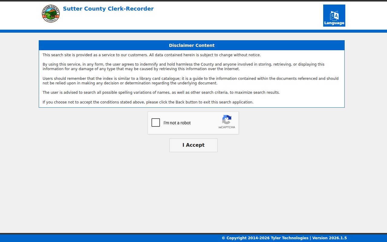
The index is a finding aid, not a guarantee that every image or certification is online. When the image is missing or a certified copy is needed, use the Recorder counter or its mail copy route at 433 Second Street, Yuba City, (530) 822-7134.
- Record the current APN or PIN, situs wording, book-page-parcel values, and jurisdiction from GIS and assessment results.
- Ask the Assessor counter for the public owner or assessee entry, mailing address, and associated document reference withheld from the online display.
- Search that party and document in the Recorder index, using spelling variants and the likely document type or date range.
- Read the deed or requested image and match its APN, legal description, and transfer date to the parcel.
- Take the seller or grantor from that acquisition deed and search that name as an earlier grantee.
- Repeat backward, checking trusts, spouses, former names, and non-sale transfers before treating a gap as a change in ownership.
- Grantor and grantee
- The grantor conveys or releases an interest; the grantee receives the interest named in the instrument.
- Chain of title
- The linked sequence of recorded transfers that connects one documented interest to an earlier one.
- Legal description
- The parcel description used in the instrument. It can preserve identity when a street name, number, or postal label changes.
- Criss-cross directory
- An address-first directory that may connect a street address to a named household, if the local holding and year are confirmed.
- Enumeration district
- A census area used by an enumerator. It can help locate a sheet when an old address is hard to read.
The Recorder Cutoff and Earlier Books
The December 1, 1993 date is the verified start of the Sutter online official-record index, not the beginning of local deeds. Recordings after March 13, 2023 move from the legacy gateway to the newer Self-Service route. That routing change also does not mean older instruments vanished. For earlier work, continue at the Recorder counter through grantor-grantee indexes and deed books. The first pre-online year has not been located, so a claim that the older run begins at a particular year would be guesswork.
| Route | Best use | Known limit |
|---|---|---|
| Legacy Records Query | Assessment, tax, and older official-record index entry point | Owner and linked document fields are suppressed in the assessment web view |
| Tyler Self-Service | Recordings after 3/13/2023 and modern index navigation | Images and certification vary; exact live filters should be tested |
| Recorder counter or mail | Earlier deed books, copies, and records not visible online | Live fees and service details require confirmation |
Test every reasonable spelling, including initials, compound surnames, accented and plain forms, and a spouse or trust name. The available Clerk-Recorder fee PDF carries a 2020 footer, so any page, search, image, media, or certification amount must be verified with the Recorder before payment. Published office pages also differ slightly on the Wednesday closing time, making a phone check wise.
Note: A missing online image may reflect the portal's coverage or access limits rather than a missing deed or a destroyed record.
Three Sanborn Snapshots in Yuba City
A Sanborn fire-insurance map can place a building in an earlier Yuba City block, but it is not a list of previous residents. The verified Library of Congress set includes the January 1890 map, the May 1899 map, and the November 1909 map. These sheets can show footprints, construction material or use, outbuildings, street numbers, and nearby context. They give a physical check on a deed or household clue.
Compare the same block across the three snapshots. A changed footprint can mark an addition, replacement, or use change. A number that does not match a modern search should be tested against the GIS legacy-name fields, parcel identity, and legal description. No citywide renumbering year was verified, so an apparent gap should remain an open question rather than a claimed move.
Museum Address Files in Yuba City
The Sutter County Museum's 2007 historic-property survey is a strong local bridge between maps and deeds. It covers 385 selected properties, including houses, businesses, public and agricultural structures, the Plumas Street district, and Sacramento Northern Railway resources. Yuba City appears in 11 street-file runs: Almond-Bogue; Bridge-Butte House; C-Chestnut; Colusa-Cooper; Emerson-Kiley; Lincoln-Olive; Onstott-Orange; Park-Plumas; Railroad-379 Second; 406 Second-545 Second; and Shasta-Yolo. The survey is selective, not a complete parcel roll.
The Museum historic-properties resource is the right place to inspect the survey context before asking staff about a street file:
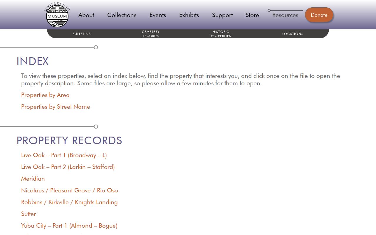
The survey image represents a selective historic-property record, not a complete list of past occupants. Use its property name, street range, photograph, or description as a lead to the Recorder, census, Sanborn, or a confirmed directory year.
The Museum also holds more than 20,000 artifacts and 8,000 photographs, schedules research hours, and routes legal-record questions to the Clerk-Recorder. Its research form asks for a full name, address, phone, email, topic, use of materials, assistance type, and detailed inquiry. The Museum research request form states no fixed fee or turnaround and does not offer appraisal, authentication, or valuation. Give names, dates, addresses, and the image or record sought.
For a past household that ended in death, the Museum's cemetery index can add a surname and cemetery clue across Sutter and Yuba counties. Treat that clue as a lead. Confirm it with an obituary, probate filing, deed, or other dated record.
Note: The historic-property files can suggest where to look next, but they do not establish current ownership or a complete list of occupants.
Yuba City Previous Residents Across Census Years
Ownership and household history answer different questions. A deed can show who received title, while an enumerated household record can show people counted at an address. Exact Yuba City city-directory, telephone-directory, reverse, and criss-cross holdings were not verified. The honest request route is Sutter Main Library at 750 Forbes Avenue, (530) 822-7137, plus the Museum form. Do not insert a publisher, year, occupation field, or abbreviation key until a librarian or Museum response confirms it.
Federal census schedules are named through 1950 under the 72-year release rule. Use the National Archives census research route for the available schedules, then pair a census year with the nearest confirmed directory or deed event. A gap may reflect nonpublication, a move, death, a changed number, or an unreadable address. It should not be filled with a guess.
- Fix the parcel and old address before choosing a census sheet.
- Request the directory year just before or after the event, asking for the title, publisher, shelf location, and a sample page.
- Compare the address clue with the census household and the deed's legal description, keeping each date separate.
- Use an obituary, the Museum cemetery index, or a public probate file to explain a death or family connection.
- Write the result as documented ownership, documented household presence, or an unresolved lead.
Lawful use. Yuba City house-history and family-history research should stay tied to a lawful personal purpose. Do not use names or addresses to stalk, harass, pressure, or harm a living person.
Request Yuba City Directory Holdings
The local shelf has a documented gap, not a verified empty shelf. Library pages advertise research computers and the California Digital Newspaper Collection, but they do not inventory the Yuba City city-directory or reverse-directory years. Ask the reference desk for a shelf and catalog check, then ask whether a volume is a city, telephone, address, or criss-cross directory. Request the exact year, publisher, call number, and a photographed sample if access allows.
- Sutter Main Library: 750 Forbes Avenue, (530) 822-7137, Tuesday through Thursday 9-6 and Friday through Saturday 9-5.
- Sutter County Museum: 1333 Butte House Road, (530) 822-7141, Wednesday through Friday 9-5 and Saturday noon-4.
- Museum research requests are handled in order, with no fixed turnaround stated.
The historical collection discussion on the Yuba City city directories page can sit beside this address trail without replacing live confirmation from the Library or Museum. A negative shelf check is useful evidence when dated and named, but it does not prove that no volume ever circulated locally.
Yuba City Permit Clues and Address Changes
Permit records can date a physical change between two deed events. The Yuba City Accela public permit application is the direct online route, but unattended inspection encountered a 403 challenge. Exact permit years, result fields, export limits, and code-case coverage remain unverified. The Building Division describes records for new construction, additions, remodeling, and most repairs or alterations; a result may show address or parcel, applicant or contractor, description, valuation, dates, and status.
When the online route does not answer an old address question, use the City's public-record request process under California's Public Records Act for an existing permit ledger, code file, street-name or address resolution, annexation map, or council record. The Yuba City Clerk public-record request route states that the City normally gives a determination within 10 days, with a possible 14-day unusual-circumstance extension. It need not create a custom list. Ask for an identifiable record series and date range.
Yuba City Previous Residents and Record Gaps
Yuba City record history includes two documented courthouse fires. The first permanent courthouse dates to 1858, burned in 1871, was replaced in 1873, and burned again in 1899. The exact destroyed or surviving record groups have not been inventoried. That caution matters: do not state that a deed, probate file, or directory was destroyed unless a custodian identifies the loss.
When a trail stops, preserve the last confirmed source, date, spelling, address form, APN, and legal description. Check the Recorder counter, the Library request route, the Museum's selective files, census sheets, and the three verified Sanborn years before concluding that past residents cannot be found. Museum Bulletin issues and indexes run from 1954 through Spring 2026 with gaps, and their subject, author, and graphics indexes can point to surnames, streets, schools, churches, communities, cemeteries, farms, businesses, and portraits. A careful gap is an honest result.