
Yuba City Neighbors by Source
A block lookup works best as a chain of records. The Sutter County GIS layers define the physical group of parcels. The Assessor connects selected APNs to owner and mailing information at its counter. The Recorder adds instruments for parties already identified. Voter access is narrower, and the Museum supplies history rather than a current roster. Each source has a different keeper and a different answer.
The table separates a location fact from a person fact. A parcel can show that two lots touch without showing who occupies either one. A deed can name a buyer without proving that the buyer lives there now. Those limits are part of a sound Yuba City neighbors search.
| Source | What It Shows About a Block | Access |
|---|---|---|
| Address and parcel GIS | Points, units, touching polygons, APNs, acreage, city fields, and physical context | Free county viewer and REST layers, no login |
| Assessor assessment search | Address or APN assessment facts, tax data, parcel references, and map links | Free address/APN search; owner details at the counter |
| Assessor counter | Owner or assessee, mailing address, and associated document reference for selected APNs | 1190 Civic Center Blvd.; phone and in-person service |
| Recorder index | Deeds, liens, other instruments, party names, document type, number, and date | Online from 12/1/1993; newer recordings route to self-service; counter or mail copies |
| Voter access | A voter’s own registration status, or restricted fields for an approved purpose | Self-lookup or qualifying application, never an open block list |
| City permits and CPRA | Address-linked permit, code, street, annexation, or council records when maintained | City portal or a defined existing-record request |
| Museum and library history | Selected historic buildings, community context, newspapers, and local research leads | Free web resources, research computers, or scheduled help |
Apartment units, non-owner household members, protected participants, and people whose information is not part of a public record may not appear. A good result states whether it identifies land, an owner, a recorded party, a registered voter under an authorized route, or only a historical lead.
Click Through Yuba City Parcels
The adjacent-parcel method begins with one known address. Open the Sutter County GIS gateway, locate the Full Address or APN, and zoom until parcel boundaries and building footprints are legible. The map is a geographic starting point. It is not a resident roster, and the map itself does not supply the suppressed owner name.
Record the target feature before moving outward. Keeping the APN, book, page, parcel, acreage, and city field together prevents a nearby lot from being mistaken for the address that began the search.
- Search the address layer and save the full or abbreviated street form, unit information, ZIP, postal community, MSAG community, and incorporated municipality when shown.
- Click the target parcel. Write down the APN or PIN, BOOK, PAGE, PARCEL, ACRES, CITY, map-page link, and any appraisal or document reference.
- Click parcels that touch the target, sit to its rear, or lie across the road. Use lot-line dimensions, road centerlines, footprints, and aerial imagery to decide whether the physical relationship is truly adjacent.
- Make a short APN list for the Assessor. Take those identifiers to 1190 Civic Center Blvd. for the owner, assessee, mailing address, and associated document information that the web view suppresses.
- Use identified parties in the Recorder grantor-grantee index, then match the instrument back to the APN or legal description. For a full named-street sweep, use the Yuba City Streets walkthrough instead of treating a block sample as a whole street.
REST distance queries exist in the county service, along with distinct values, statistics, ordering, and pagination. No consumer-facing radius button was verified. A hand-checked parcel set is therefore easier to explain and audit than a vague circle drawn around an address.
GIS Layers Behind a Yuba City Block
The public Aumentum layer catalog contains more than a parcel outline. Addresses, Communities, Lot Line dimensions, Roads, Tax Parcels, Levees, Cities, Waterways, Assessor pages, Building Footprints, and 2025 aerial imagery can be compared in one geographic view. That mix helps define a block without claiming that every visible structure has a current household attached to it.
Address data is especially useful when a street has more than one form. The layer preserves number parts, directionals, street types, modifiers, full and abbreviated text, and legacy street fields. It also separates postal community, MSAG community, ZIP and ZIP+4, incorporated municipality, lifecycle, mailable status, source, address authority, coordinates, and positional accuracy.
| GIS field group | What to record | Why it matters |
|---|---|---|
| Address identity | Full address, abbreviated address, building or unit, legacy street, landmark or place type | Prevents a current street spelling from hiding an older address form |
| Community coding | Postal community, MSAG community, ZIP, ZIP+4, incorporated municipality | Separates delivery and emergency labels from the legal city line |
| Parcel identity | APN, PIN, formatted PIN, BOOK, PAGE, PARCEL, ACRES, CITY | Creates the key for the Assessor and later deed research |
| Placement and query | Coordinates, elevation, source, authority, accuracy, lifecycle, distinct values, statistics, distance, pagination | Shows how precise the map is and how a repeatable selection was made |
The county service has a 2,000-record or selection maximum. A large address pull should be narrowed by street, ZIP, community, or another field before review. The parcel layer can point to a document or appraisal reference, but the online map has no owner roster.
Note: GIS identifies a place and its physical neighbors; it does not establish occupancy, voter status, or a complete household count.
The Yuba City Assessor Counter
One of Sutter County’s most useful quirks is also the step most likely to be skipped. The online assessment search accepts an address or APN and returns parcel and tax facts, yet assessee names and associated official-document numbers are suppressed online. The Assessor’s parcel book information helps orient the map, while the counter supplies the owner and mailing bridge for selected APNs.
The Assessor is at 1190 Civic Center Blvd. and can be reached at (530) 822-7160. Bring the APNs from the GIS selection. Do not ask the map to infer an owner. A mailing address may belong to a trustee, company, or out-of-area owner, and neither a tax address nor a parcel polygon proves that a person occupies the lot.
Sutter County Assessor
1190 Civic Center Blvd.
Yuba City, CA
(530) 822-7160
Assessment Search
Sutter Clerk-Recorder
433 Second Street
Yuba City, CA 95991
(530) 822-7134
Records Query
Sutter County GIS
Public Aumentum layer catalog
Address and parcel layers
Free, no login
Layer catalog
Yuba City City Clerk
1201 Civic Center Blvd.
Monday to Thursday, 8 to 5
City public-records route
CPRA requests
The office cards are record custodians, not neighborhood associations. No authoritative city umbrella association inventory or membership directory was found. Public board or corporate contacts, recorded CC&Rs, and subdivision plats may exist, but they do not turn private member rolls into a government directory.
Yuba City Boundaries Before Neighbor Names
A postal Yuba City label does not always mean an incorporated Yuba City parcel. The address layer distinguishes postal and MSAG communities from the incorporated municipality, and the GIS Cities layer gives a second boundary check. This matters in Sutter County, where unincorporated points can share the Yuba City postal community. It also helps avoid crossing the Feather River into a Marysville or Yuba County record path by mistake.
Parcel books add a local orientation clue. Books 51 through 55 cover incorporated Yuba City east of Highway 99, while books 56 through 63 cover the west side. Those book ranges are map geography, not a substitute for the current city field, APN, or legal description.
For ZIP or mailing questions, compare the address layer with the official USPS address lookup. For a block question, the incorporated field and city polygon deserve priority over a map pin or postal label. The Assessor’s parcel system may omit city and ZIP, while the GIS layer can show them, so the two systems work as complements.
Note: Confirm Sutter County coverage from the parcel map when a postal Yuba City address could point toward a neighboring county or an unincorporated community.
Recorder Deeds Around a Yuba City Block
The Recorder adds names only after the parcel work has created a reliable lead. Sutter County’s Clerk-Recorder at 433 Second Street maintains a daily grantor-grantee index for deeds, liens, and other title-affecting instruments. Party name, document type, document number, and recording date are useful search elements. A grantor is a person transferring an interest. A grantee receives it. Neither role alone proves current residence.
The online index begins December 1, 1993. Recordings after March 13, 2023 route from the legacy gateway to the Tyler Self-Service entry. Earlier deed books and counter indexes remain part of the in-person path. The office describes index and image research, and copies can be requested at the counter or by mail. The published fee PDF carries a 2020 footer, so any current charge should be confirmed with the custodian.
- APN
- An assessor parcel number, used to identify a mapped tax parcel. It is not a resident name.
- Situs address
- The physical location of land or a building. It can differ from the tax mailing address.
- Legal description
- The deed’s formal description of the land, useful when a street name, number, or parcel changes.
- Grantor-grantee index
- A party-based record index. It helps locate an instrument but is not the same as a full deed image.
Use the APN, legal description, recording date, and document image together. Test spelling variants. If a counter result names an owner, search the party in the index and then match the document back to the selected parcel. That creates a documented owner trail around a block without claiming that every named party is a present neighbor.
Yuba City Voter Access Limits
California My Voter Status is a self-lookup. A person supplies identifying data and receives that person’s registration and election information, not an open list of people on a Yuba City street. The tool can show status, party preference, polling or election details, vote-by-mail information, and participation history where maintained. It never shows a ballot choice.
Sutter’s Registrar of Voters is at 1435 Veterans Memorial Circle in Yuba City and can be reached at 530-822-7122. A separate voter-file request route exists for candidates, qualifying committees, and approved election, scholarly, journalistic, political, or governmental purposes under Elections Code section 2194. The application asks for the requester, geography, qualifying purpose, safeguards, delivery method, and a penalty-of-perjury signature.
California voter-access rules protect home addresses, phone and email fields, precinct and registration identifiers, prior-registration information, driver or identification numbers, Social Security numbers, unique identifiers, and signatures outside the permitted route. Confidential voters are excluded. Regulation section 19004 bars personal or private communication, solicitation, impermissible surveys, harassment, and transmission outside the United States. Elections Code section 18109 makes knowing misuse or unauthorized acquisition a misdemeanor.
Note: My Voter Status can confirm a person’s own record, but it cannot lawfully supply a public Yuba City neighbors list.
California voter access rules are easier to understand when the official self-lookup is kept separate from a restricted file request. The state access rules shown below provide the source for the image.
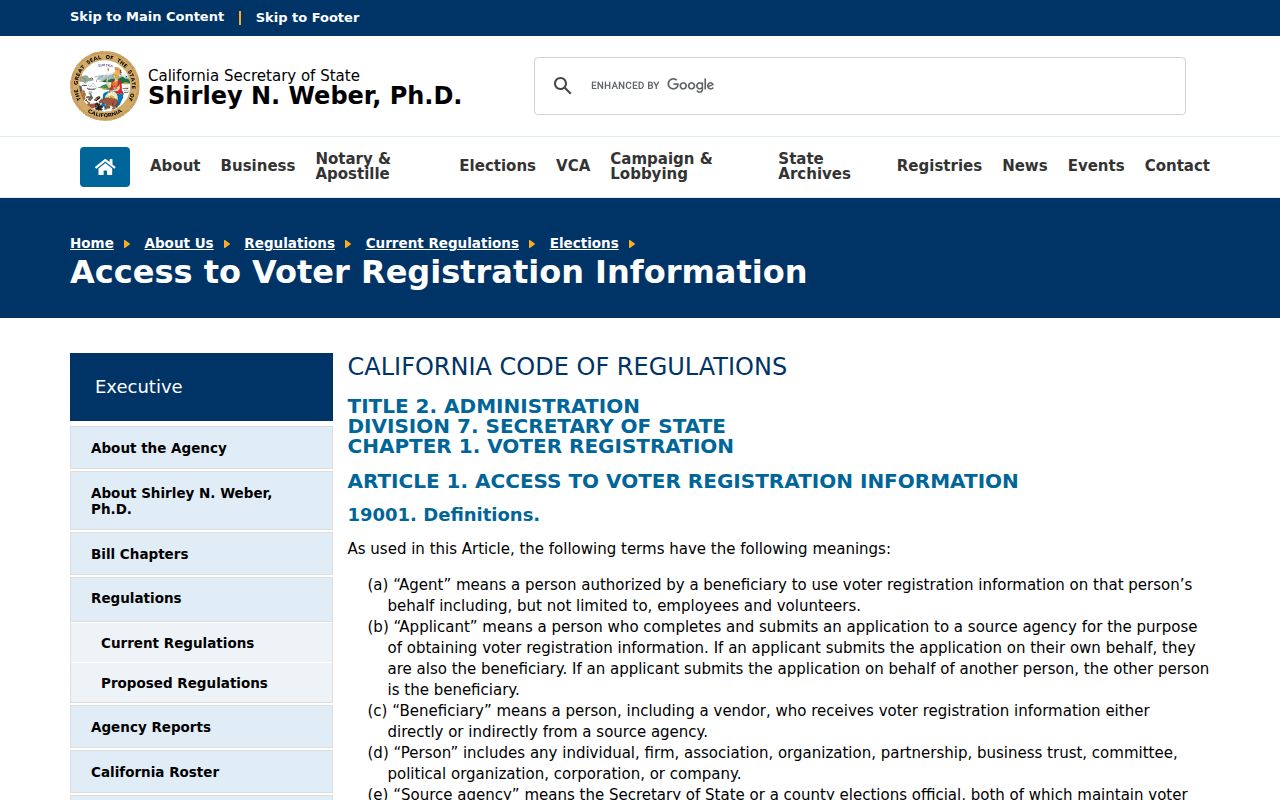
The voter-access image points back to the state’s rule set, where permitted purpose and protected fields control what can be released about people near an address.
Community History Around Yuba City Blocks
Current neighborhood membership rolls were not verified, but public history can add meaning to a block without exposing a private roster. The Sutter County Museum exhibits cover Nisenan, Black, Chinese, Hmong, Japanese, Mexican, and Punjabi histories. Those collections help a researcher recognize community names, migration paths, congregations, schools, farms, and businesses that may appear in a dated source.
The Museum collections service holds more than 20,000 artifacts and more than 8,000 photographs, and its local resources include a 385-property historic survey arranged through 11 Yuba City street runs. The survey is selective. It may give a building description, a past name, or a source lead, but it is not a current parcel roll. A block story should be checked against deeds and assessment records.
The Museum exhibit source gives public context around Yuba City blocks rather than a contact list. It shows why names can cross the Feather River, why an accented or transliterated surname may need more than one spelling, and why a church, farm, business, or cemetery source may matter when a current directory trail ends.
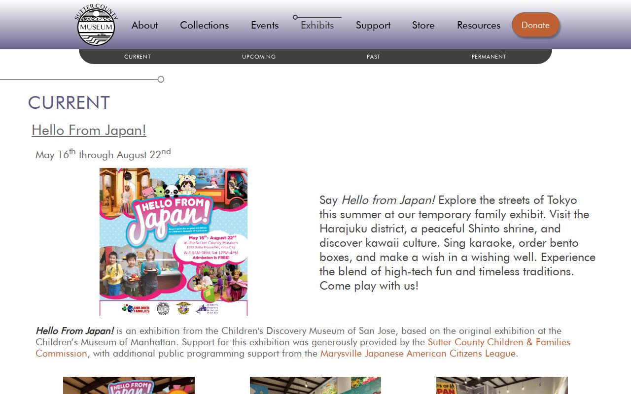
The Museum exhibit image leads to a public history source that can explain community ties around a Yuba City block without treating cultural context as proof of a present household.
For in-person context, the Sutter County Museum is at 1333 Butte House Road, 530-822-7141, open Wednesday through Friday from 9 to 5 and Saturday from noon to 4, and free to visit. Its research service can be used for a scheduled local-history lead.
Sutter County Library Main, at 750 Forbes Avenue, offers free research computers and access to the California Digital Newspaper Collection. It is open Tuesday through Thursday from 9 to 6 and Friday through Saturday from 9 to 5, with a main phone number of 530-822-7137. The research record does not verify exact city-directory, yearbook, obituary, or reverse-directory holdings, so ask staff rather than assuming a named volume is on the shelf.
City Records for a Neighbor Question
Some block questions concern a city record rather than a person. Yuba City’s City Clerk accepts California Public Records Act requests for existing writings about public business. A targeted request can name a permit ledger, code file, street-name or address resolution, annexation map, or council record and give a date range. The agency does not have to create a custom list or answer a broad research question.
The public-records procedure says the city normally makes its determination within 10 calendar days, with a written extension of up to 14 days for defined unusual circumstances. Inspection, search, review, redaction, and assistance labor are not charged, while direct duplication can carry a charge and advance payment may be required. City Hall is at 1201 Civic Center Blvd.; public hours are Monday through Thursday from 8 to 5, with phone and email services continuing on Friday.
Building and code records can show an address, parcel, applicant or contractor, work description, valuation, dates, and status when the record contains those fields. An applicant may be an agent rather than a neighbor. The Accela permit portal was not fully verified in unattended inspection, and the online extent of code cases remains a research gap. Use the city’s request route when a defined existing record is needed.
The Yuba City public-records request procedure shows the proper city channel for that kind of request. A screenshot of the request source is useful as a reminder that the city can provide records it maintains, not a newly made block directory.
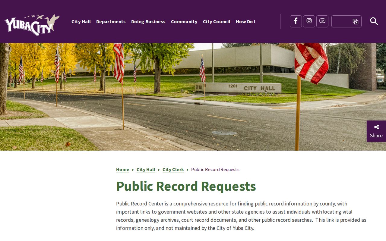
The public-records image connects the city channel to a defined request for existing records, such as an address resolution or permit file, rather than a request for private household data.
Official Versus Commercial Neighbor Results
Different result types should not be blended. Official sources have a custodian, a stated field set, and an appeal or correction path. Commercial compilation services may offer a quick lead, but their inputs, refresh dates, and matching rules are not the same as the county’s records. A block lookup is more reliable when the source category stays visible.
| Source category | Useful evidence | Limit to keep in view |
|---|---|---|
| Official GIS and Assessor | Parcel shape, APN, acreage, assessment facts, and counter owner or mailing information | Location and ownership are not proof of present occupancy |
| Official Recorder and City records | Recorded parties, instruments, permits, address actions, and other existing agency writings | Coverage, privacy rules, date ranges, and image access vary by custodian |
| Official voter access | Self-status or restricted fields under a qualifying purpose | No open street or block directory; protected fields remain closed |
| Commercial compilation category | Possible lead assembled from public, purchased, or inferred data | May be stale, merge same-name people, charge recurring fees, or lack source proof |
| Local history resources | Historic buildings, community context, family leads, and dated images | Selective historical material is not a current neighbor roster |
When a commercial result conflicts with an APN, deed image, or current custodian record, the original office controls the question. A lead can guide a lawful request or a family-history check, but it should not be treated as a finding that someone lives at a particular address.
Privacy Limits for Yuba City Neighbors
Parcel records are built around land. They do not list every household member, visitor, delivery customer, utility customer, or person who stays at an address. The DMV’s residential information is protected, and Safe at Home participants use a substitute address and confidential forwarding. Sealed, juvenile, adoption, confidential marriage, and protected voter records can create a lawful gap in an otherwise plausible trail.
California consumer privacy rules allow access, correction, deletion, and limits on sale or sharing in covered situations, but deleting a broker copy does not erase a deed, court record, or assessment record held by its custodian. The free DROP platform launched in February 2026 and can send one deletion request to more than 500 registered data brokers, with matched deletions beginning August 1, 2026. Source records remain governed by their own rules.
Lawful use. Yuba City parcel and records searches are suitable for personal, lawful research, reconnecting, civic curiosity, and safety awareness. Do not use an address, name, voter record, or compiled lead to stalk, threaten, harass, or intimidate anyone. California protections include Penal Code section 646.9, Code of Civil Procedure section 527.6, Elections Code section 18109, and Safe at Home rules under Government Code section 6208.1.
Use the office that created a record when a correction is needed. The Assessor handles assessment facts, the Recorder handles recorded-document indexing, the court handles docket corrections, Elections handles registration, and the issuing agency handles licenses or vital records. A careful Yuba City neighbors search ends when the source record ends, not when an unverified lead fills the gap.